Post by vondrinkoften on Apr 6, 2024 0:14:52 GMT
Continuing our tour of the lower North Island of New Zealand; todays leg would see us depart New Plymouth (NZNP) to head for the lower slopes of Mt Taranaki in the Egmont National Park, before making our way over to Whanganui via the settlement of Hawera, and then finish up at the Ohakea airforce base (NZOH)
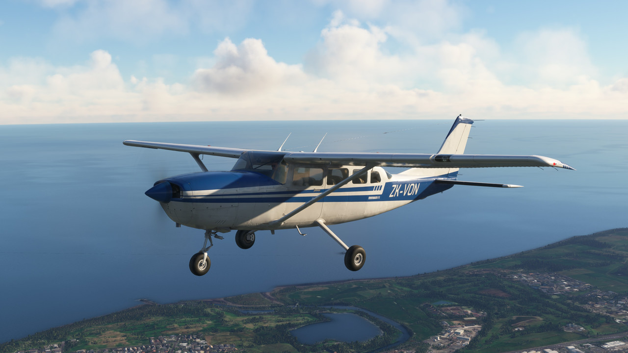
For this flight I decided to take out the "Payware" (from flightsim marketplace) Cessna T207A Stationair , which is slightly larger than the default Cessna 172 that comes with the sim.
This aircraft comes in three different versions/configurations for passengers, cargo and sky-divers with a good assortment of period paint schemes to choose from.
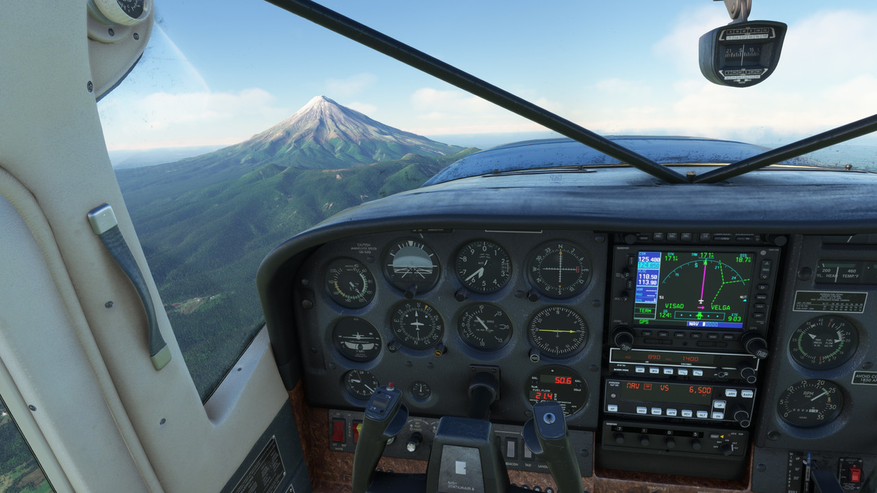
The office

Ready to depart New Plymouth (NZNP) via runway 05

Climbing out (note Mt Taranaki off in the distance)

Heading on a South-Westerly course for Mt Taranaki, and climbing to approx. 8000ft to give us a little clearance over the terrain at the foot of the mountain. Lake Rotomanu and the Waiwhakaiho river can be observed behind and below off our right wing.

Port Taranaki

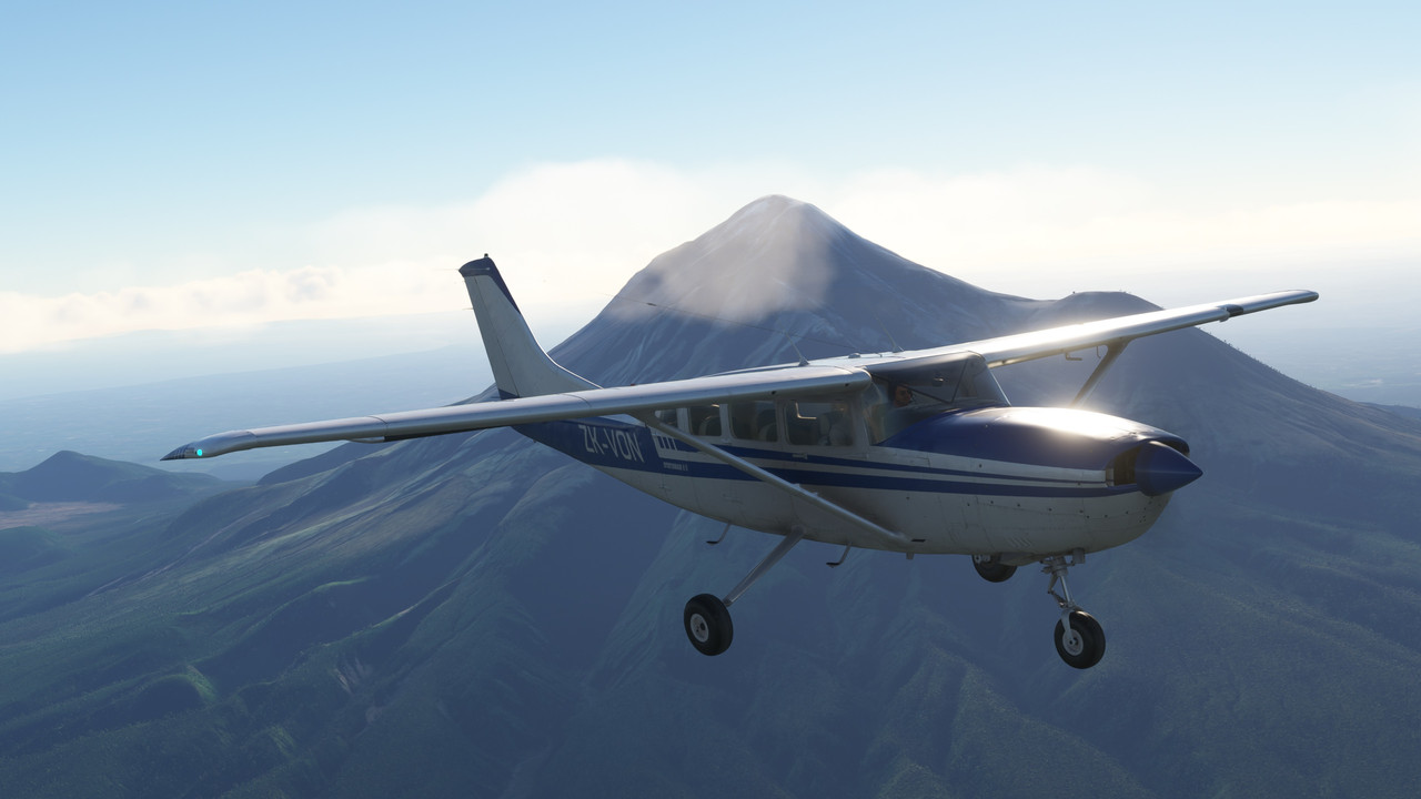
Mt Taranaki and the Egmont National Park

Mount Taranaki is a dormant stratovolcano in the Taranaki region on the west coast of New Zealand's North Island. At 2,518 meters (8,261 ft) it is the second highest mountain in the North Island, after Mount Ruapehu.

It also has a secondary cone, Fanthams Peak, 1,966 metres, (6,450 ft) on its south side.


Passing over the settlement of Hawera. (Note the fairly large Hawera airfield behind us to our left beyond the race course)

Back out over the coast and turning inland for Whanganui

The Manawapou River

The settlement of Patea alongside the Patea river

The Whenuakura River

The settlement of Waverly

Lake Waikato

Looking down toward the Kai Iwi stream

Nearing Whanganui with Lake Marahau ahead of us

Following the coastline eastwards, the mouth of the Whanganui river and the settlement of Whanganui itself can be observed ahead.

Cleared for a straight in approach on runway 11

Down safely

I was going to make this my final destination, but had plenty of fuel remaining and the Ohakea airforce base (NZOH) was only a short distance away to the Southeast.

Departing Whanganui airport (NZWU) via runway 11

Hugging the coastline once more

The Turakina river and the settlement of Koitiata

The Santoft Forrest which straddles Lake Koitiata

Turning for final at Ohakea (NZOH) on runway 09

For shytes & giggles, I decided to tune into the ILS on 110.50 and switch the autopilot to handle the approach...

Leaving the rudder and control stick alone, I just manipulated the throttle to maintain a good approach speed of 75 - 80 kts and let the autopilot do the rest.

Passing over the Rangitikei river as we close in on the runway

Down once again safe and sound

The flightpath taken. Total flight time of 1hr 1 min

For an inexpensive addon, I found the Microsoft/Carenado Cessna T207A Stationair to be very good with a great looking 3D model. Excellent interior textures which are slightly weathered to give it a used look to it.
Definitely recommended.
The next leg will see us head South for Wellington International, before making our way back up the East coast of the North Island.
I was thinking... next time, I will take out one of the default propellor powered aircraft, so I am open to any suggestions/recommendations if anyone has any.
Cheers!


